The Riverside Park which incorporates the old Millfields games pitches, stretches from a few hundred yards west of Foundry Lane (where the road runs down to the marina) to Remembrance Avenue in the east.
The north of Riverside Park is bordered by Foundry Lane, and then the housing along Fairway Drive and the bottom of Fernlea and Park roads.
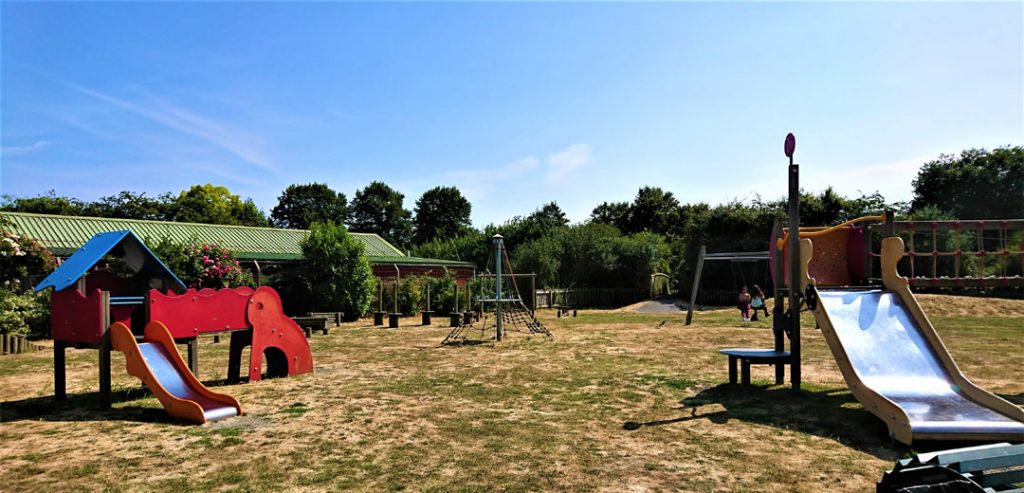
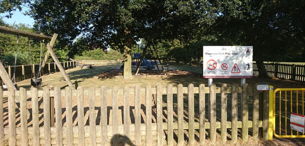
It includes two play areas for younger children (swings and things), the first by Millfields Road (which runs up to Station Road by the library).
This connects, via a wooden bridge over a stream, to the second play area near Remembrance Avenue.
The eastern side of the park is bordered by Remembrance Avenue and the Burnham Sailing Club dinghy park. The south is bounded by the River Crouch.
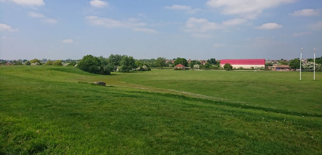
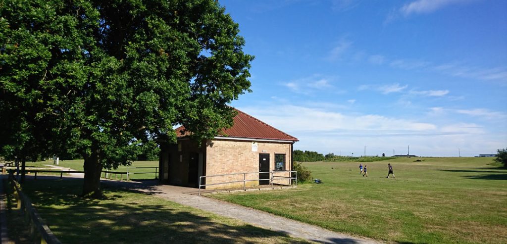
The park features the Dengie Hundred Sports Centre (a large red-roofed building with a dramatic curved roof) which includes a gym and variety of indoor sports.
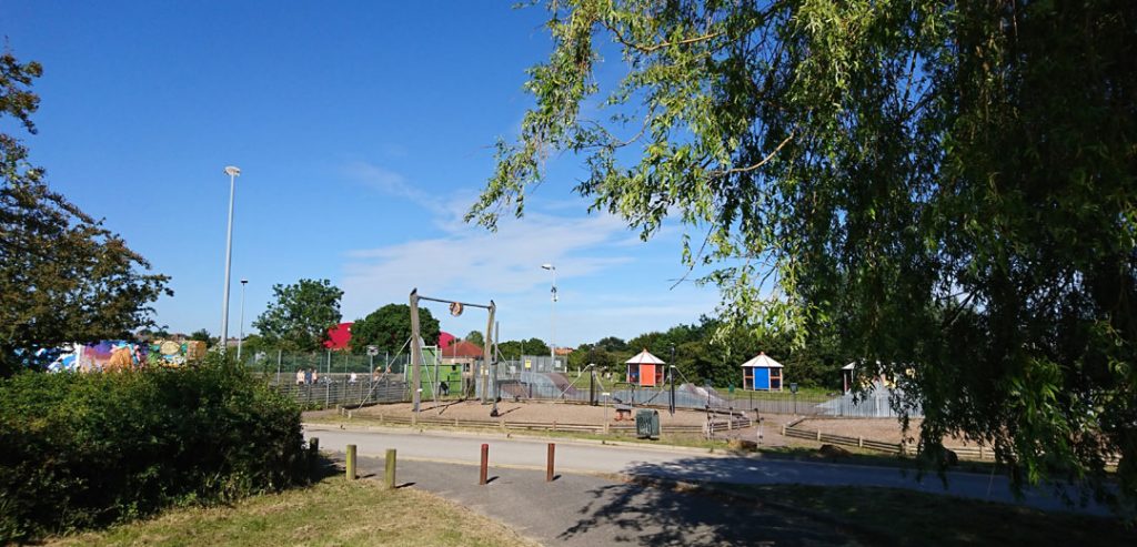
There is a skatepark with all-weather courts, all-weather shelters, a BMX track (in need of refurbishment), a soccer/rugby pitch, a cricket pitch which is connected to the Dengie Hundred Sports Centre, and a one-mile trim trail. There is also a grafitti wall for general use near the skatepark.
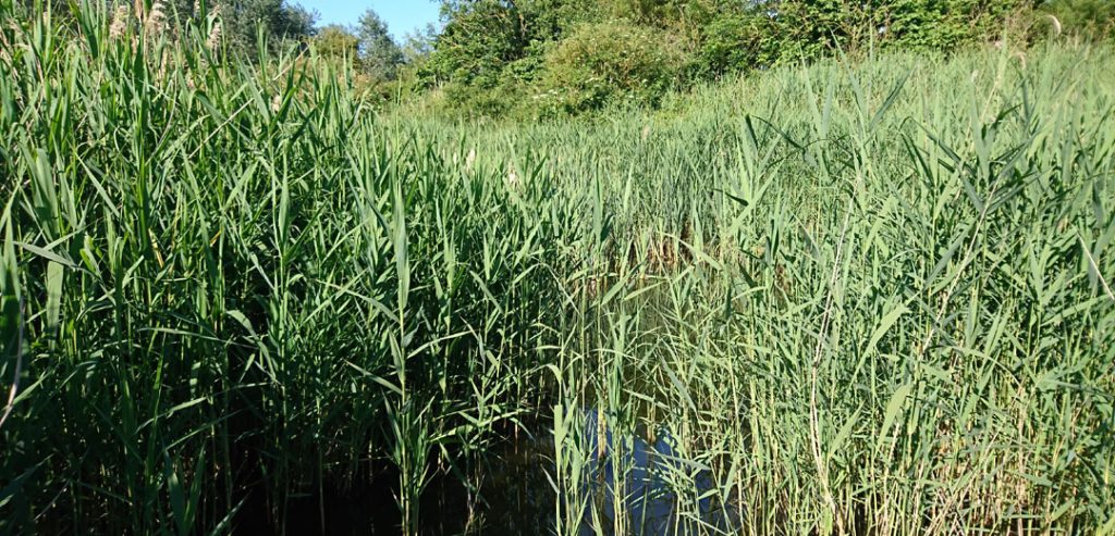
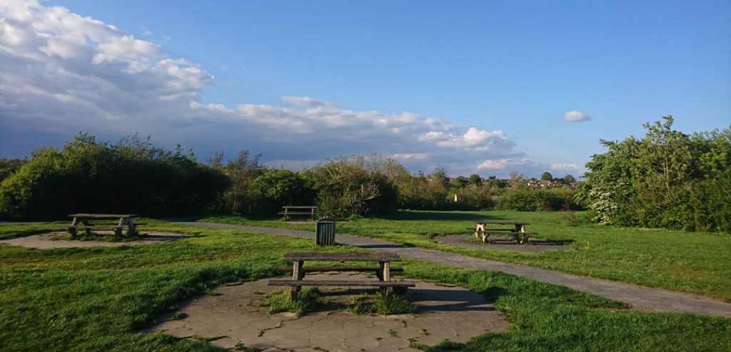
It also features a small stream which feeds some reedbeds in the centre of the park. But please don’t go in the water – the wildlife there won’t appreciate it, and it is pretty stinky.
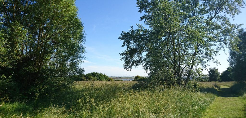
The large, L-shaped plateau east of the marina is made from the silt and clay excavated to create the Yacht Harbour in the 1980s. Here you can sit on memorial benches, listen to the birds and wildlife and enjoy the stunning view down to the river.
The park’s southern border is West Quay, which features a beacon which is often lit for town events such as Trafalgar Day and Jubilee celebrations.
You can walk to Creeksea from Riverside Park via Foundry Lane and a path that runs beside the railway line – a 20 minute walk. If you fancy a longer stroll, you can reach Creeksea via the Marina – which has a public right of way through it to the seawall, which is bordered with saltings and affords fine views over the Crouch.
The Park is owned by Maldon District Council.
Parking & toilets in Riverside Park
There are two car parks for the Riverside Park: The Riverside Park Car Park and the Burnham Yacht Harbour Car Park.
For information about toilets in Riverside Park, click here.